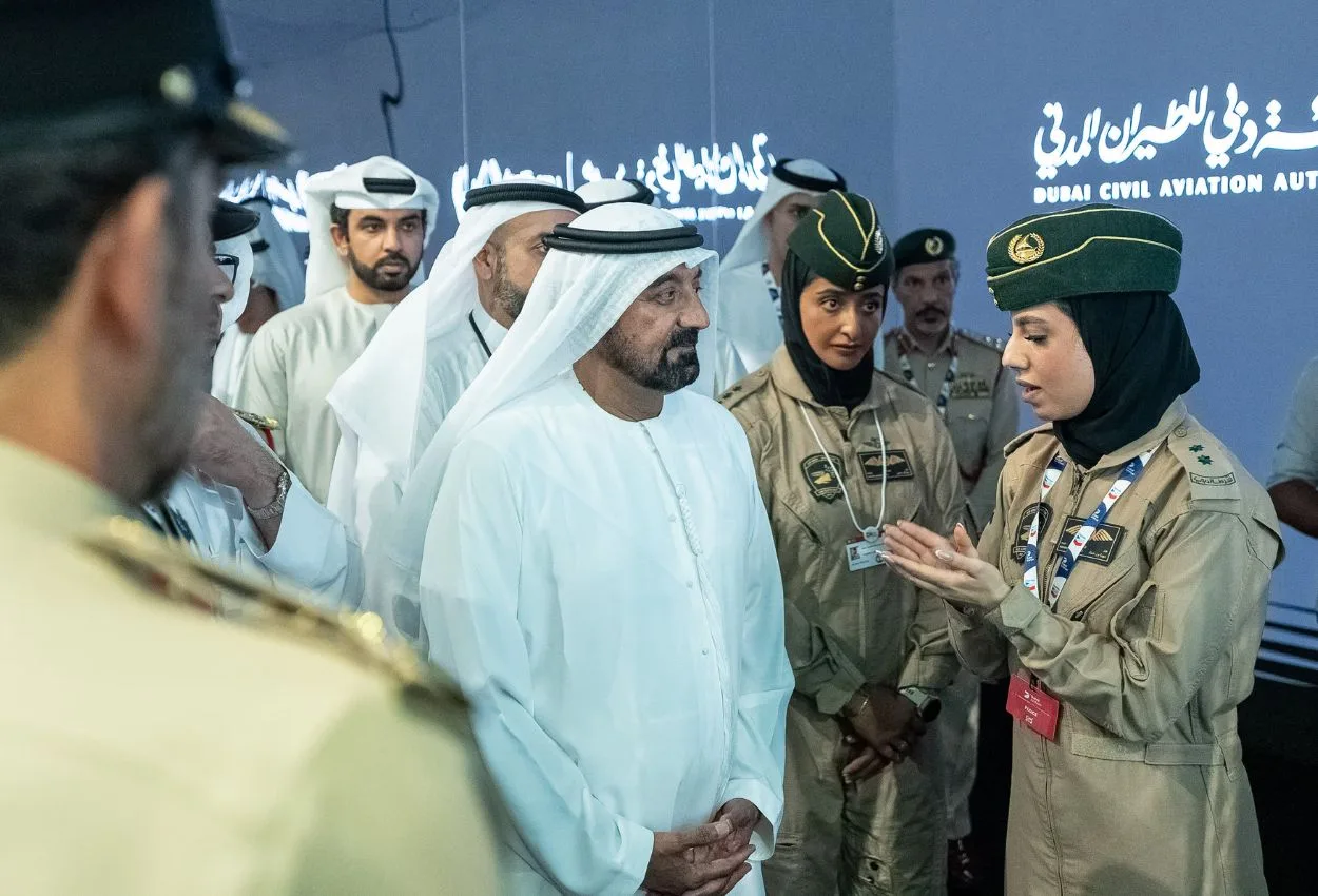
Sheikh Ahmed bin Saeed Al Maktoum, President of the Dubai Civil Aviation Authority, launched a navigation system during the Dubai Airshow that aims to protect aircraft from colliding with wires and obstacles in the air.
The launch took place in the presence of Lieutenant General Abdullah Khalifa Al Marri, Commander-in-Chief of Dubai Police, Mohammed Abdulla Lengawi, Director General of the Dubai Civil Aviation Authority, Major General Hareb Mohammed Al Shamsi, Deputy Commander-in-Chief for Criminal Affairs Sector, and a number of senior officers and officials
How the system works
The General Headquarters of Dubai Police and the Dubai Civil Aviation Authority revealed development of a navigation system that enhances safety during low-altitude flight operations.
The system integrates geographic-positioning technology with digital maps that are updated on a regular basis and contain data of power lines, towers, antennas, and potential obstacles along the flight path.
Dubai Police explained that the system operates through a smart application that can be used on mobile devices or smart watches, where it determines the aircraft’s location in real-time and issues audio and vibration alerts when approaching any obstacle, allowing the pilot to make immediate decisions that reduce the likelihood of accidents.
The innovation is compatible with all types of light aircraft and helicopters and relies on geographic data of the region. This contributes to identifying obstacles with effectiveness, thereby helping to reduce collisions with aerial hazards.
The implementation of the project came in cooperation with the Dubai Civil Aviation Authority, which developed the system by providing accurate geographic data, enhancing the system’s effectiveness in supporting flight safety within an operational environment, Dubai Police noted.
Early detection system reduces accident likelihood
The project reflects the coordination between Dubai Police and the Dubai Civil Aviation Authority in developing solutions that serve the aviation sector.
The system represents an advancement in the field of low-altitude flight safety through early detection of aerial hazards without the need to install additional equipment.
The Dubai Civil Aviation Authority confirmed that its participation in the project comes within its role in enhancing the security and safety of Dubai’s airspace by working with partners.
The authority also praised the coordination with Dubai Police, which it described as “a model of government partnership in developing solutions that support the civil aviation ecosystem.”