Dubai is replacing its street signage and addressing infrastructure with a unified visual identity system, in a project spanning 186 areas across 19 sectors that will run through 2030.
The Supreme Committee for Urban Planning, working with the Roads and Transport Authority and Dubai Municipality, has launched the initiative, which covers area identification signs, internal street name signs, and house number plates. A specialist wayfinding and addressing consultant developed the designs.
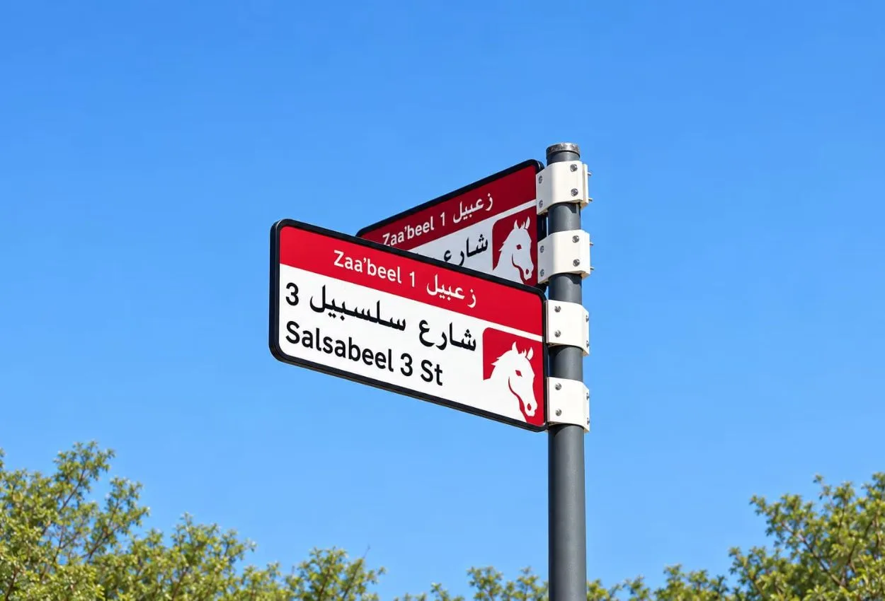
The system uses five colours tied to the geographic character of each area. Blue denotes neighbourhoods near the sea; gold marks desert-environment areas. The colour scheme is intended to give each district a distinctive visual signature while keeping the overall addressing logic consistent across the emirate.
Implementation begins this year with the installation or replacement of more than 2,000 signs across five areas: Za’abeel 1, Za’abeel 2, Nad Al Sheba, Al Khawaneej 1, and Nazwa. The broader phased rollout starts in the fourth quarter of 2026 and continues to 2030.
The RTA and Dubai Municipality set priorities based on urban growth and population density, the centrality and vibrancy of areas, the presence of residential and tourist attractions, and the share of streets not yet formally addressed.
Future phases will extend the identity to bus stops, smart applications, and area map boards. House number plates will carry each property’s Makani number alongside a QR code, with colours matched to the new signage palette.
QR codes will also provide information on street and area name meanings, points of interest, and sector data.